Dwaas Kill Nature Preserve is located west of Pierce Road, north of Kinns Road, in the Town of Clifton Park approximately 1/2 mile south of Ushers Road.
There are four parking areas along the west side of Pierce Road:
- Main parking area at the trailhead entrance.
- Alternate parking area south of the trailhead entrance.
- Small parking area at south end of Red Trail (AKA “Fishing Trail”).
- Alternate small parking area at intersection of Pierce Road and Kinns Road near parking area #3 above.
View the trail map, which includes a total of 2.2 miles of trails.
Some views of this preserve –

Parking lot @ trailhead off Pierce Road

Trailhead main sign – close up view

Miscellaneous signs at trailhead

Entrance to outdoor classroom

Outdoor classroom adjoining trailhead; podium on left and seating on right

Looking W’ly along Orange Trail near trailhead

Boardwalk over Long Kill at intersection of Orange Trail and Red Trail

“Live Life” artwork on plank of the boardwalk over Long Kill

Looking W’ly at beginning & ending of “loop” portion of Orange Trail

Panoramic N’ly view atop ridge along “loop” portion of Orange Trail

Looking W’ly atop ridge along “loop” portion of Orange Trail

Looking N’ly from atop ridge along “loop” portion of Orange Trail at culvert through which Long Kill flows under railroad tracks

Trail sign-Dwaas Kill Nature Preserve

Looking NNW’ly toward railroad tracks from “loop” portion of Orange Trail. Site formerly mined for moulding sand.

Looking SE’ly along “loop” portion of Orange Trail

Looking at intersection of “loop” portion of Orange Trail with Green Trail (with overlook of Dwaas Kill)

Abandoned car along Green Trail (off “loop” portion of Orange Trail)

Panoramic view of Dwaas Kill from overlook at end of Green Trail (off “loop” portion of Orange Trail)
Native brook trout have been observed in the Dwaas Kill; read about the efforts underway to preserve this cold water fishery.

Looking E’ly from end of “loop” portion of Orange Trail toward its intersection with the beginning of same “loop”

Looking S’ly from Orange Trail at north end of Red Trail

Looking S’ly from north end of Red Trail; note wood duck house on tree in middle of photo

Close up view of Wood Duck house made from wooden speaker box

Looking S’ly along Red Trail adjoining Long Kill

Looking S’ly along Red Trail at its intersection with Green Trail (which has overlook of Long Kill and Dwaas Kill)

Confluence of Long Kill (right) into Dwaas Kill (left) – overlook at end of Green Trail (off Red Trail)

Boardwalk near south end of Red Trail

Panoramic view of Dwaas Kill (and two boardwalks) from third bench along Red Trail (near south end)

Kiosk at south end of Red Trail

Looking upstream along Dwaas Kill from Pierce Road

Beginning of Blue Trail from junction with Orange Trail and Green Spur Trail

View downslope toward boardwalk

Panoramic view looking westerly along Blue Trail @ intersection with its southern fork on left

View of boardwalk and stairs up steep slope as trail turns to the right

Stairs ascending steep slope

Path gradual descent down long slope

Steps descending steep slope toward extended boardwalk

Bench on northernmost overlook

Panoramic view looking at tree canopy from bench on northernmost overlook

Panoramic view looking slightly downslope from bench on northernmost overlook

Looking easterly along Blue Trail @ intersection with its southern fork on right

Bench on southernmost overlook

Panoramic view looking at tree canopy from bench on southernmost overlook

Panoramic view looking slightly downslope from bench on southernmost overlook

View of end of southernmost fork of Blue Trail
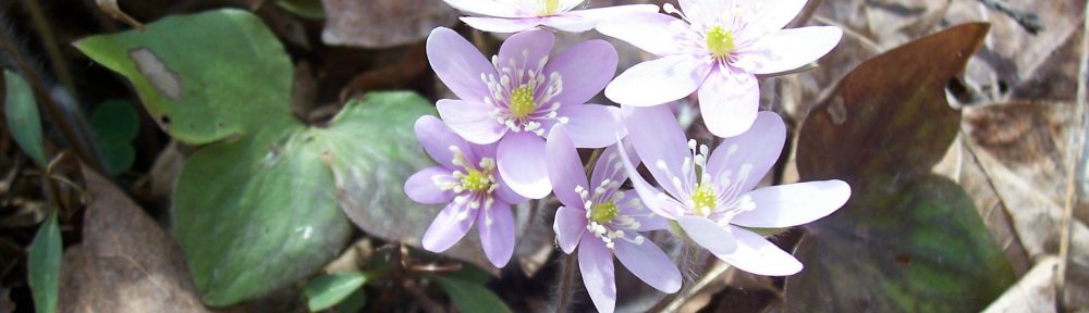
View my wildflower field guide for this nature preserve. If you wish to download a copy to your smartphone or tablet for trailside use, simply scan this quick read bar code:

