Shenantaha Creek Park is located on the east side of Eastline Road, approximately 1/2 mile south of Route 67, in the Town of Malta. The trailhead area is located approximately 1/3 mile east of the park entrance off Eastline Road.
View the general location map.
Directions: Take exit 12 off of I-87, then head west on Route 67 for 1.4 miles to the traffic signal. Turn left (south) on East Line Road and travel 1/2 mile to the park entrance, then turn left into the park. Drive down the hill and park in the lot on your right.
View the trail map.
Some views of this park –

Historical marker regarding old mill ruins – Shenantaha Creek Park

Site of flaxseed mill

Historical marker regarding American Indian mortars – Shenantaha Creek Park

American Indian mortar – Shenantaha Creek Park

American Indian mortar – Shenantaha Creek Park

Trail sign – Shenantaha Creek Park

Shenantaha or “deer water” – AKA Ballston Creek

Shenantaha

Stone wall along trail segment

Forest trail-Shenantaha Creek Park

Trail along top of shale bedrock cliff face along Shenantaha

Woodland trail

Shenantaha

Stone box culvert under Zim Smith Trail-Shenantaha Creek Park
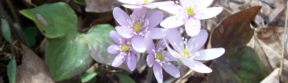
View my wildflower field guide for this park. If you wish to download a copy to your smartphone or tablet for trailside use, simply scan this quick read bar code:

Is there a trail map for the trail
Yes. Simply click on “trail map” in the ‘View the trail map’ sentence on that page.