The West Sky Natural Area is a preserved open space area containing a 0.6-mile multi-use trail located in the Town of Clifton Park. This trail system extends through the Crescent Estates and Shirewood residential developments.
Beginning at its trailhead at the northern end of Compton Road, this trail heads east to Moe Road (near its intersection with Sugarbush Road) and, about midway between Compton Road and Moe Road, there is a northerly segment that ends at West Sky Lane (about midway between Westview Court and Westbury Court).

There are two access points along this trail; each offers the possibility of parking along the side of a residential street. There are no designated parking areas.
View the trail map.
Some views along this trail system –


Read about a recent donation of land to expand this area.
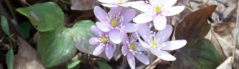
View my wildflower field guide for this natural area. If you wish to download a copy to your smartphone or tablet for trailside use, simply scan this quick read bar code:

