Vischer Ferry Nature and Historic Preserve is located along the Mohawk River in the Town of Clifton Park at the intersection of Riverview and Van Vranken roads. A parking lot adjoins the trailhead at that intersection. The Mohawk-Hudson Bird Club lists this preserve as a good bird watching site in Saratoga County and the Audubon Society of the Capital Region also features this preserve for bird watching.
View the general location map.
Trail maps:
- Trail map-Overview (SOURCE)
- Trail map-Bird Watching Trail (SOURCE)
- Trail map-1825 Erie Canal Towpath Trail (SOURCE)
- Trail map-Mohawk River Overlook (SOURCE)
- Trail map-1840 Erie Canal Overlook (SOURCE)
- Trail map-Forts Ferry Loop Trail (SOURCE)
- Trail map-Tall Spruce Trail (SOURCE)
The preserve is a designated Bird Conservation Area by the New York State Department of Environmental Conservation.
Town opens pedestrian bridge over Erie Canal
Some views of this preserve –

Historical marker – Vischer Ferry Nature and Historic Preserve

Whipple Bridge – Vischer Ferry Nature and Historic Preserve

Bridge structure embossed with “S. WHIPPLE, ALBANY, N.Y. 1869”

New York Civil Engineering Landmark – Whipple Iron Truss Bridge

Information sign – New York Civil Engineering Landmark

Historical marker regarding Fort’s Ferry – Vischer Ferry Nature and Historic Preserve

Historical marker regarding Clute’s Dry Dock – Vischer Ferry Nature and Historic Preserve

Great Blue Heron along East Towpath – Vischer Ferry Nature and Historic Preserve. View the list of bird species observed here.

Historical marker regarding Lock 19 – Vischer Ferry Nature and Historic Preserve
Some views along the trails at this nature preserve –

Looking E’ly at trailhead entrance to 1825 Erie Canal Towpath Trail from picnic area adjoining Whipple Bridge

View along 1825 Erie Canal Towpath Trail

Looking NE’ly along 1825 Erie Canal Towpath Trail at bridge just before Water Authority Access; 1825 Erie Canal Towpath Trail continues straight across Water Authority Access

Looking ENE’ly along 1825 Erie Canal Towpath Trail at gravel-filled repair of a washout

Looking SE’ly along 1825 Erie Canal Towpath Trail (which bears right and then left) and it intersection with Male Drive Entrance (which enters from left and continues across 1825 Erie Canal Towpath Trail and then bears right up short slope to former bridge site)

Looking SE’ly upslope along 1825 Erie Canal Towpath Trail (short spur bears right atop this hill to a former bridge site)

Entrance from Community Connector Trail going beneath Whipple Bridge onto 1840 Erie Canal Overlook Trail

Looking NE’ly along 1840 Erie Canal Overlook Trail

Looking NE’ly at wooden bridge along 1840 Erie Canal Overlook Trail – trail ends on the other side of bridge

View looking SE’ly from bridge near end of 1840 Erie Canal Overlook Trail

Looking SE’ly from Community Connector Trail at trailhead of Forts Ferry Loop Trail-historic marker on left

Looking S’ly from Forts Ferry Loop Trail over marsh toward Mohawk River

Bench (which faces S’ly toward Mohawk River) along Forts Ferry Loop Trail

Looking W’ly at intersection along Forts Ferry Loop Trail (which bears left)

Looking SE’ly from Forts Ferry Loop Trail at riparian forest whose canopy comprise principally of Eastern Cottonwood

Looking NW’ly at intersection with Tall Spruce Trail (from right) with Forts Ferry Loop Trail (which bears left)

Looking N’ly at intersecton of Tall Spruce Trail (which bears left) and Forts Ferry Loop Trail (which bears right)

Looking NE’ly along Forts Ferry Loop Trail (which bears left) and intersection with Trail 10 (which bears right)

Looking NW’ly across marsh from Forts Ferry Loop Trail (which bears right)

Looking ENE’ly from end of Forts Ferry Loop Trail at its intersection with Community Connector Trail (gravel) and Bird Watching Trail (which bears slightly left and then directly across Community Connector Trail)

Looking NE’ly along Bird Watching Trail

Looking ENE’ly along Bird Watching Trail with its intersection with Community Connector Trail (gravel) nearest to Trail 13

Looking WNW’ly along Tall Spruce Trail (center path) and its intersection with unnamed dead-end spurs

Looking WSW’ly along Tall Spruce Trail (which bears right) and intersection with Trail 1 (which bears left)

Looking WSW’ly along Tall Spruce Trail at easternmost windbreak (comprised of Norway Spruce, the trail’s namesake) of a former homesite

Looking WNW’ly along Tall Spruce Trail (which bears left) and intersection with Trail 2 (which bears right through the northernmost portion of windbreak adjoining former homesite)

Looking NW’ly along Tall Spruce Trail as it enters into riparian forest whose canopy comprised principally of Eastern Cottonwood, Green Ash, and Silver Maple

View of riparian forest along Tall Spruce Trail

Looking NW’ly from end of Tall Spruce Trail at intersection with Community Connector Trail (left to Old Lock 19 and right to Whipple Bridge)
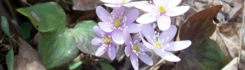
View my wildflower field guide for this nature preserve. If you wish to download a copy to your smartphone or tablet for trailside use, simply scan this quick read bar code:

View information regarding the invasive species that I have observed at this preserve.
