Historic Champlain Canalway Trail is located along the historic Champlain Canal in two segments. The northern segment is located in the Town of Halfmoon, beginning at its trailhead at Upper Newtown Road and continuing south for approximately three miles to the southern boundary of the Town of Halfmoon. The southern segment is located in the Town of Waterford, beginning at its trailhead at Broad Avenue and continuing north for approximately one mile to Old Lock 5.
UPDATES on extension between Towns of Halfmoon and Waterford:
Two parking areas for the northern segment are located as follows:
- north parking area: approximately 1/4 mile west of the intersection of Upper Newtown Road and Route 4; and
- south parking area: approximately 1/4 mile west of the intersection of Brookwood Road and Route 4.
There are no designated parking areas associated with the southern segment. However, there is ample parking along both sides of Division Street where it intersects this trail.

This trail is wheelchair accessible.
Some views along the northern segment of this trail –

Parking area along Upper Newtown Road

Looking south from Upper Newtown Road

Trail sign – Historic Champlain Canalway Trail


McDonald Creek from atop the culvert and wastewater weir, just south of Old Lock 7, Historic Champlain Canalway Trail

Sign at trail crossing on Lower Newtown Road

Looking north from Lower Newtown Road

Looking south from Lower Newtown Road

View looking north along trail near Lower Newtown Road

View looking north along trail near Brookwood Road

Looking north from Brookwood Road

View looking south from trail crossing on Brookwood Road

Looking south along trail from Brookwood Road

Parking area next to water treatment plant along Brookwood Road

Looking north along Historic Champlain Canalway Trail south of Brookwood Road

Nature interpretation signage

Lookly S’ly along improved southern end of Halfmoon segment

Lookly S’ly along improved southern end of Halfmoon segment

Lookly S’ly along improved southern end of Halfmoon segment

Signs at southern boundary of Town of Halfmoon along trail

Lookly N’ly from southern boundary of Town of Halfmoon along improved southern end of Halfmoon segment
Some views along the southern segment of this trail –

Looking NNE’ly from trailhead on Broad Street

Looking SSW’ly along trail from Division Street

Looking NNE’ly along trail from Division Street

History interpretive signage–Weigh-lock

Looking NNE’ly along trail toward railroad bridge

Looking NNE’ly along trail just north of railroad bridge

Looking N’ly along trail where powerlines cross overhead

Looking N’ly from south end of Old Champlain Canal Lock 5

Looking N’ly from north terminus of Town of Waterford segment – note orange post on right side of trail

History interpretive signage–Lock 5 and Matton’s Boat Yard

Looking S’ly from north end of Old Champlain Canal Lock 5

Looking S’ly from north terminus of Town of Waterford trail segment
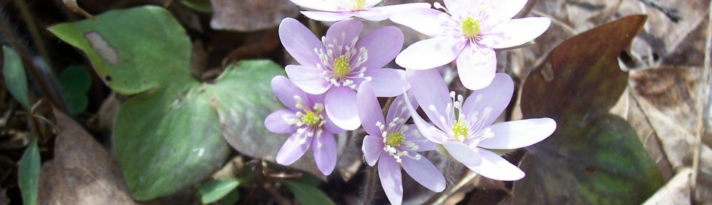
View my wildflower field guide for this trail. If you wish to download a copy to your smartphone or tablet for trailside use, simply scan this quick read bar code:
