The main trailhead is at the south end of Zim Smith Trail, which is an 11.5-mile multiple-use trail that begins in the City of Mechanicville, then continues through the Town of Halfmoon, then continues through a portion of the Town of Clifton Park and the Town of Malta, and ends in the Village of Ballston Spa in the Town of Ballston. The Zim Smith Trail is a National Recreation Trail (designated in 2012), named after Col. Zimri “Zim” Smith, USAF (Ret), who died in 1994.
Six parking areas are available along Zim Smith Trail:
- Mechanicville Trailhead Lot (AKA Zim Smith East Trailhead) – Small parking lot at north end of Elizabeth Street Extension in Mechanicville.
- Floud Memorial Park – Parking lot on east side of Coons Crossing Road, south of railroad tracks, in the Town of Halfmoon (diagonally across road from parking area #3).
- Coons Crossing Lot (west) – Small parking lot on west side of Coons Crossing Road in the Town of Halfmoon (diagonally across road from parking area #2).
- Round Lake Lot – Another parking lot is located along Curry Avenue in the Village of Round Lake.
- Shenantaha Creek Park Lot – The largest parking lot is located at Shenantaha Creek Park (off Eastline Road, south of Route 67) in the Town of Malta. Please note that public toilets and a drinking fountain are available at the park; there are no other facilities along this trail.
- Oak Street Lot – A very narrow parking area is located along the shoulder of the end of Oak Street (a dead end street) in the Village of Ballston Spa.

This trail is wheelchair accessible. Most of this trail has a stone dust (crushed shale) surface with the remainder being an asphalt surface.
View the Zim Smith Trail map (9-mile original trail plus Malta spur) and the Mechanicville to Coons Crossing segment trail map.
Some views along this trail –

Looking NW’ly from trailhead

Looking NW’ly at Pan AM Southern railyard

Looking NW’ly at curve before tunnel enclosure through golf course

Tunnel enclosure through Fairways of Halfmoon golf course

Golf cart crossing @ end of tunnel enclosure (2nd of 2 crossings; 1st is halfway through tunnel enclosure)


2nd of 2 picnic tables (first overlooks W end of Pan AM Southern railyard)

Retired sickle bar mower now serving as trailside sculpture


Looking at Floud Memorial Park, restrooms and parking lot E of Coons Crossing on S side of RR tracks


Mileage marker along Zim Smith Trail measured from trailhead at Coons Crossing Road

Carving on old log (it faces easterly) along Zim Smith Trail

Carving on old log (it faces westerly) along Zim Smith Trail

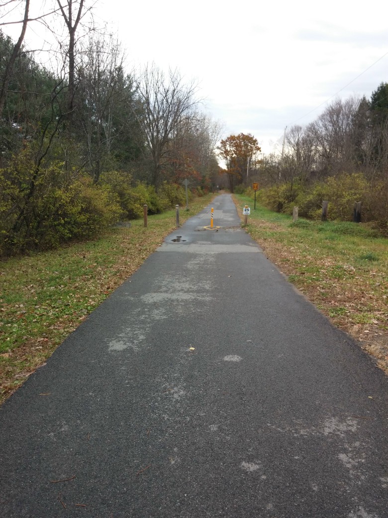
View along Zim Smith Trail

Looking easterly from English Road

Looking westerly from English Road

Spur trail through Ushers Road State Forest

Log bench along Zim Smith Trail

Bridge over Route 9

Looking south from Curry Avenue

Looking south from Goldfoot Road toward parking lot at Curry Avenue

Looking north from Goldfoot Road

Looking southerly from Morris Road

Looking northerly from Morris Road

Looking northwesterly at bridge over Round Lake Bypass

Looking northerly at bridge over Round Lake Bypass

Looking southeasterly along Zim Smith Trail from its intersection with Spur Trail to Route 9

Looking northerly along Spur Trail (to Route 9) from its intersection with Zim Smith Trail

View (looking northerly) along Spur Trail

Looking northeasterly upstream through valley of unnamed tributary to Ballston Creek

Looking northwesterly upstream through valley of unnamed tributary to Ballston Creek

Looking southeasterly along Spur Trail from ridgetop overlooking Balston Creek to south

Looking easterly at bridge over ravine along Spur Trail to Route 9

Bench and overlook along Spur Trail to Route 9

View (looking westerly) of Balston Creek along Spur Trail

Looking westerly along Spur Trail

Looking southwesterly along Spur Trail from Route 9

Signage along Zim Smith Trail

Looking northwesterly along Zim Smith Trail from its intersection with Spur Trail to Route 9

Looking southeasterly at I-87 bridges

Wood carving along Zim Smith Trail near Northway overpass
Looking easterly from Ruhle Road South

Sign along Zim Smith Trail at intersection with Ruhle Road South

Looking westerly from Ruhle Road South

Wood carvings along trail

Looking northerly up a ravine along trail

Looking northerly up a ravine along trail

Looking easterly at entrance road into Shenantaha Creek Park

Looking southerly at trail crossing of entrance road into Shenantaha Creek Park

Looking south from trail crossing at Underpass Road

Looking north from trail crossing at Underpass Road

Looking upstream along Mourning Kill from bridge just north of Underpass Road

Looking northerly along trail

Artwork along trail

Looking northerly along trail

Artwork along trail

Looking northerly along trail

Looking northerly along trail near intersection with Zepko Lane

Looking northerly from northern end of trail at Oak Street

Looking southerly from northern end of trail at Oak Street
View a video tour of this trail.
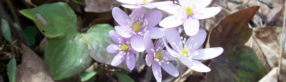
View my wildflower field guide for this trail. If you wish to download a copy to your smartphone or tablet for trailside use, simply scan this quick read bar code:


Thank you. Great trail!
Love this trail! There’s a great overview and map here too http://newyorktrailheads.com/2016/04/09/Zim-Smith-Trail.html